 |

Submitted by , posted on 28 March 2002
|
 |

Image Description, by

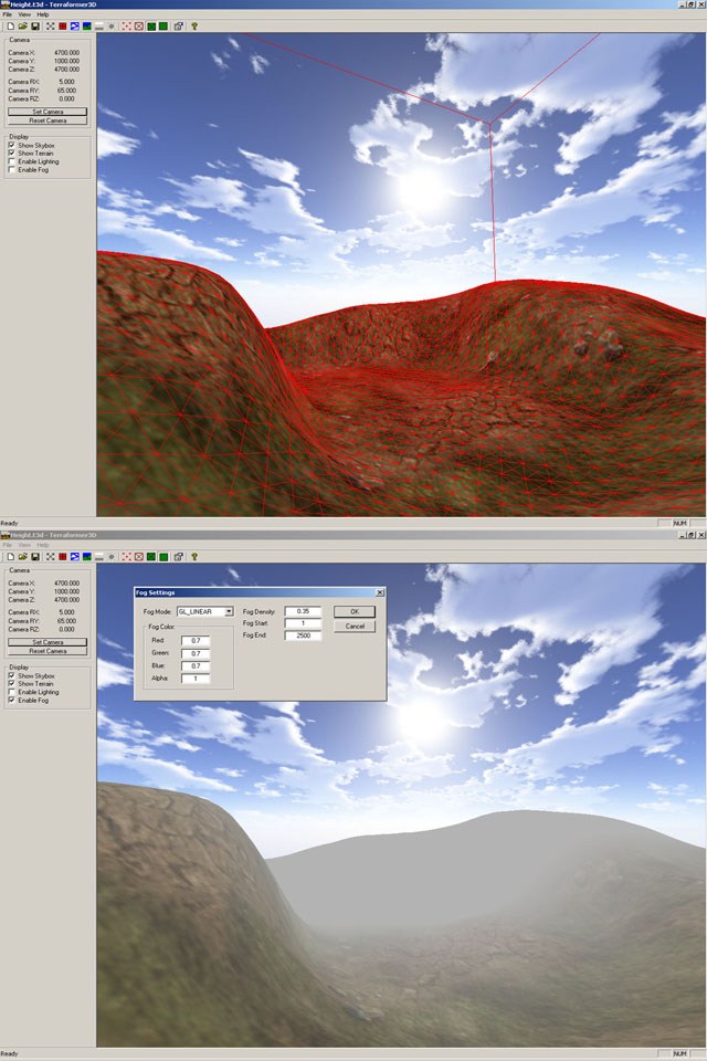
This IOTD shows my terrain/level editor which took me about 5 days to make.It still needs some more work but all the basic functions are there.I hope to release it out to the public pretty soon along with the source code but it won't be easy to read since its programmed in MFC + OpenGL :p
Basically, the main purpose of this application is to allow people to import RAW or BMP greyscale heightmaps and see what their terrain will look like when you modify parameters like scaling,fog,lighting,texturing etc. It sure as hell beats recompiling your code again and again everytime you try to change any settings :) The non public version will allow me to also import my own 3D meshes into the editor and start placing them all over the landscape.
I still have the terrain lighting to work on as well as some polishing to do but do stop by my projects website every now and then.Screenshots,source code,tutorials and the full application should be up pretty soon for anyone who is interested. If you have any questions,then email me at thegecko@biosphereent.com
Cheers :)
|
|

