 |

Submitted by , posted on 14 October 2000
|
 |
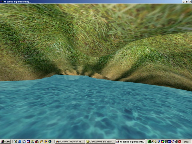
Image Description, by

I decided to get going with OpenGL, it's about time. I started playing with height
maps and this is what came out after a few hours. Apart from taking documents like
"Continuous LOD Terrain Meshing Using Adaptive Quadtrees", "siggraph96 - Real-Time,
Continuous Level of Detail Rendering of Height Fields" and printing them at work so
that I can learn something new., I'm thinking of the whole Texturing mechanism.
Should my terrain contain more than 1 texture, how do I blend the textures ? I'm
investigating into this at the moment.
regards
---
Ohad Eder Pressman
IMR
|
|